


Mount Gower - Peak #6
Mount Gower
Elevation: 3,013’
Mileage: 9 to 10 Miles (YMMV)
Trailhead Map Or can park in upper lot
Agency: Mount Gower County Preserve
Dates Hiked: 08/17/2009, 05/08/2019, 06/12/2019
Peakbagger.com Page
For those interested, here is a list of my gear that I have found works well for me. This is, of course, an affiliate link and your enjoyment of these may vary:
08/17/2009
I was able to get to an early start today, after a nice upper body workout with Joe Decker at Gut Check Fitness. I arrived at the trailhead at about 8AM and got started. I encountered some friendly locals on the trail walking their dogs early in the morning and no one else the entire day. It was my highest San Diego peak so far and it presented quite a challenge.

Grassy Area just beyond the undulating ridge - 2019
The only things that kept me company were the many young horned lizards that scurried off the trail, the countless rabbits, squirrels and birds, and the friendly shape of a mylar Hello Kitty balloon that I found snagged on some sagebrush just off the trail. She joined me on the summit. See if you can spot her in the video.

Just before the False Gower area - 2019
I saw plenty of coyote or mountain lion scat all over the place. Since I was hiking cross-country for a large portion of the journey, the going was slow. It was, however, nice to feel like I was the only person who had trekked across that area. The only tracks I saw were of the four-footed variety.

What I call the Gateway to False Gower - 2019
Due to the excessive bushwhacking, I didn't return to the trailhead until around 4PM. It was a long, hot, and dry day, but the view and feeling of wilderness was incredible.
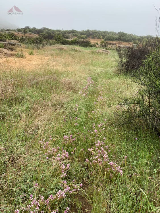
Faint use trail through the grass

More faint use trail
UPDATE: In 2009, I had summited False Gower and then realized I wasn’t at the high point. I then bushwhacked across the ridge top all the way to the actual Mount Gower high point.
I followed a cairned and clipped use trail on the way down, but got turned around many times. I eventually made it back to the trail, but I was tired indeed.
Once I returned home, I did more research on the proper path, now that I had eyes on the ground.
The way up, mostly look for faint trails near the slabs

Rainy view from the top in 2019

I am standing on the summit on a sunnier day in 2019
I’ve been back to the peak twice since my first adventure in 2009 and there is a use trail for much of the way, but it’s easy to lose the trail in the middle section. After every winter, the trail gets pretty overgrown. It was fun to see all the creeks flowing in the rain.
Mount Gower Trail Map (Click to Enlarge)

