Unnamed Ridge Exploration - Part 2 - Still no summit
For those interested, here is a list of my gear that I have found works well for me. This is, of course, an affiliate link and your enjoyment of these may vary:

GIdney Ridge from Camino Cielo
03/31/2014
Once again, instead of hiking on a well-established trail, I wanted to go to somewhere where I could explore. I returned to Camino Cielo and proceeded down the same ridge toward Gidney Creek as I did about a month and a half before. This time, I had more time, since I had taken the day off work. I needed a break and wanted to clear my head.

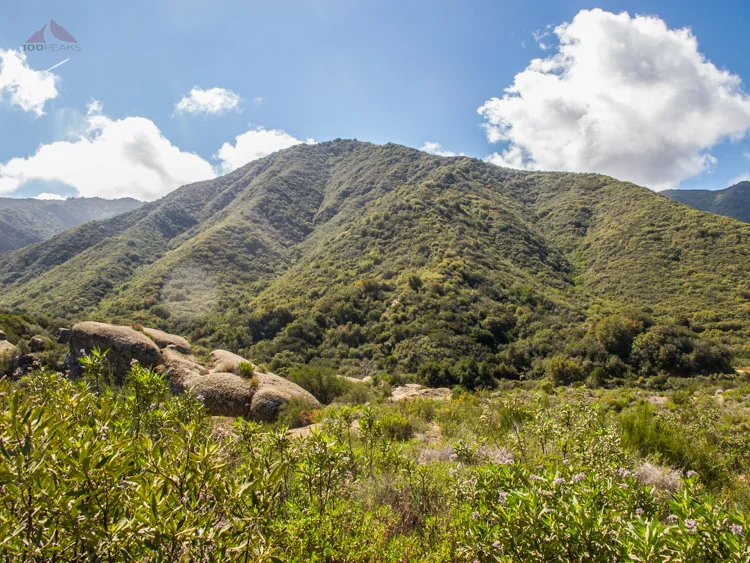
Happy to be hiking
The view from the "trailhead" is great. To the south, you get a view of the Channel Islands and to the north, you can see all the way to Big Pine Mountain and Madulce Peak.
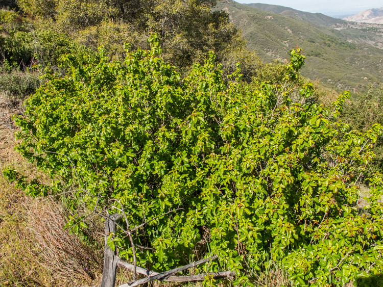
I easily found the trail and made my way downward. I noticed that the poison oak, which was dormant in February, was rampant and green now. I made it a point to keep an eye on where I was stepping.
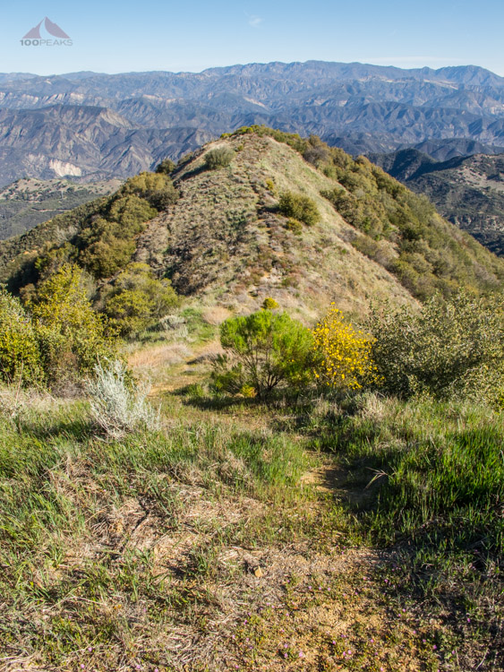
The ridge that leads downward
Not my friend
On my way down, I kept on looking for landmarks that were listed in some of the trail beta that I read online. I didn't see them. I could see clearly what my path would be on the other side of Gidney Creek, but I wasn't sure how I was going to get across.

Gidney Peak, my destination
I descended all the way down the road, without finding a trail that leads to the left, as noted in what I read. I turned around and could see the steep ridge I had descended, reminding me of my hike to Mount Ka'ala on Oahu.

The brushy bump is the ridge I came down on
I walked along the road, approaching the creek in many different ways. I got down on all fours and attempted to descend down a gully. A couple of hundred feet down, it became completely choked with poison oak. I turned around and went back to the road. Some sections were too steep and most were too choked with brush.
Given that I was alone here and no one really knew my exact route, I decided to call it for the day. I still had a lot of fun, even though I was thwarted once again.

Could not find a reasonable way down to the streambed
Back to the drawing board for this one. I have some ideas that I'll try soon. I know there are plenty of other places to hike and other peaks to climb, but, for some reason, this place has caught my attention. Stay tuned.