


Peak 77 - Palomar Mountain High Point Lookout - A climb from the valley to the top
Palomar Mountain High Point Lookout
Elevation: 6,143’
Mileage: ~13+
Trailhead: Oak Grove Trailhead
Agency: Cleveland National Forest
Date Hiked: 05/30/2018
Peakbagger.com Page
For those interested, here is a list of my gear that I have found works well for me. This is, of course, an affiliate link and your enjoyment of these may vary:
05/30/2018
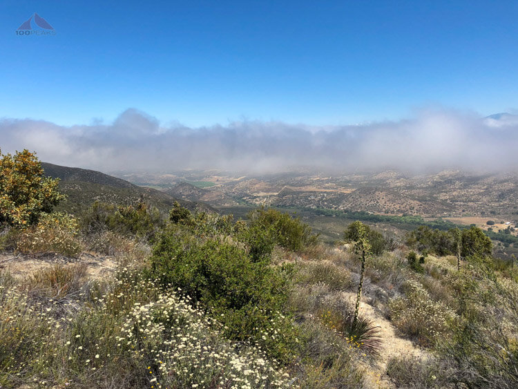
I have to be honest. This was not one of my favorite hikes. I got a later start than I had wanted. I was hopeful that the marine layer would hold, but it burnt off just as I started the steepest part of the single track.

The start of the Palomar Mountain High Point hike at Oak Grove
I woke up fairly early, and headed out. I stopped for breakfast along the way, and it seemed like it took a long time to get there. I checked in and chatted with the camp host at the Oak Grove Campground and time just seemed to fly by before I headed out on the trail.
I walked the easy trail at the rear of the fire station. The trail dropped down and crossed a dry creek before heading upward. I made a little detour to check out the water tank and remove a layer or two.
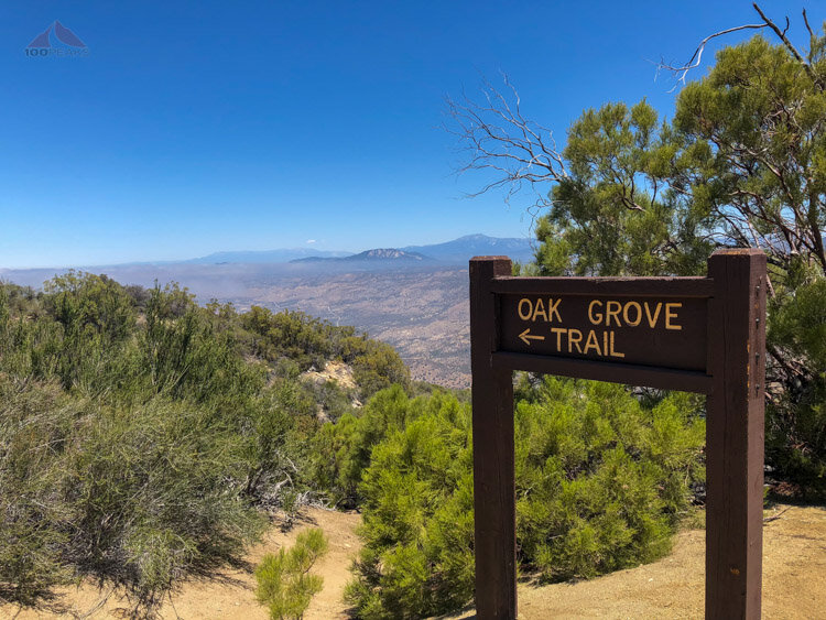
Oak Grove Trail Sign
The trail then steeply headed up the hillside, switching back here and there before it heads left up the side of a sharp ridge.
It crossed the top of the ridge and climbed on the right side of the ridge before steeply making it to the fire road. There was a variety of plants here and there. I was able to stop in the shade here and there for a break.
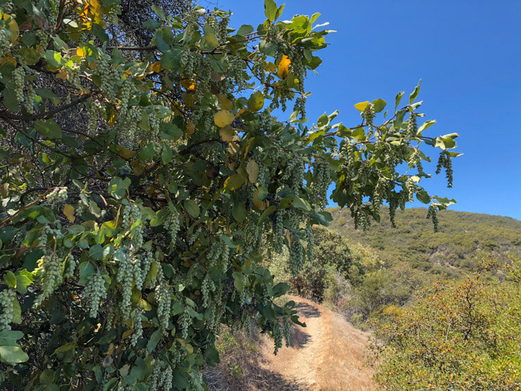
Interesting plants along the trail
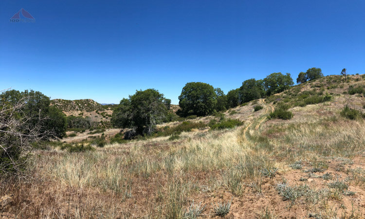
Once on the fire road, it was a sunny hike up and up. There were some nice views to the south and the occasional breeze, but the flies were out in force. Whenever I stopped to drink or have a snack, they would show up, looking for blood.

Onto the dirt road portion of the hike to Palomar Mountain High Point
I continued up, see some spots here and there that would make good camping spots. The road crossed a gate leading downward High Point Truck Trail, another potential access point to the Palomar Mountain High Point.

Great views to the northwest
The trail swung around and I could see the Palomar Mountain High Point Lookout far above me. I still had a ways to go. It had gotten pretty warm. I was looking forward to getting to the top.

The Palomar Mountain Lookout Tower comes into view
The trail leveled out a little bit and there were some pretty grassy sections around. I then entered a wooded portion. I was grateful for the shade, but, one thing I’ve learned over the years is that flies love the shade and will avoid the sun.
The flies were here for a party. I constantly swatted them away and I quickly headed up the fire road.
Nice grasslands near the top
The road came out of the woods and into the sunshine again. The breeze picked up and the flies mostly went away. I could see some great views.

More views into the distance near the top

Almost to the Palomar Mountain Lookout Tower
Happy to be at the top, the breeze was blowing nicely, and I was able to find a spot on a picnic bench underneath the lookout tower that had some shade. I enjoyed the view as I ate my lunch. I waved hello to the volunteer at the top of the tower, but I don’t think they invite the public up to this one. It’s pretty tall.

Palomar Mountain Observatory across the way

High Point Lookout

High Point from Oak Grove
I spent about 40 minutes up there, enjoying the views and the breeze. While I was eating my lunch, I noticed an old trail marked on the satellite view on the map on my phone. When I set off, I took a different path down. The first few hundred feet were a clear dirt road, but before long, the way faded into the flowers and grasses. I bushwhacked my way to the road, and it got pretty thick during the last part. I am not sure why I do this to myself. Curiosity and exploration, I guess.

A nice little spot on the way down the mountain
Luckily, there were no flies and that part of the mountain, and it was the most beautiful part of the day.
Without incident, I ran most of the way down the mountain and got back to my car at nearly 5:30PM.
If I was going to to this hike again, I would bring a head net and either do it in a cooler part of the year or get a way earlier start. I might come back with a backpack and sleep somewhere up there.
Palomar Mountain High Point Lookout Trail Map (Click to enlarge)

