


Sheephead Mountain - Peak #26 - A Cold Morning in Mount Laguna

Sheephead Mountain Trailhead
Sheephead Mountain
Elevation: 5,896′
Mileage: 3.5 (6.5 if the gate is locked on Sunrise Highway)
Trailhead: Sheephead Mountain Trailhead or, if the gate along the Sunrise Highway is open, drive 1.5 miles south on Kitchen Creek Road to the Flinn Road Trailhead Gate.
Agency: Cleveland National Forest
Date Hiked: 01/14/2010
Peakbagger.com Page
For those interested, here is a list of my gear that I have found works well for me. This is, of course, an affiliate link and your enjoyment of these may vary:
Warning: As with many areas in Cleveland National Forest, hunters use this area during hunting season. As a courtesy for the hunters and safety for yourself, please review the annual hunting seasons (general, muzzle-loading, and archery), specifically for deer and turkey on the CA Dept of Fish and Wildlife Website. The website is designed for hunters and can be overwhelming for hikers, so best of luck!
01/14/2010
After the holidays and a lengthy battle with the flu, I was ready to get back on the trail. It was a chilly pre-dawn morning, but alive with the promise of sun and beautiful blue skies.
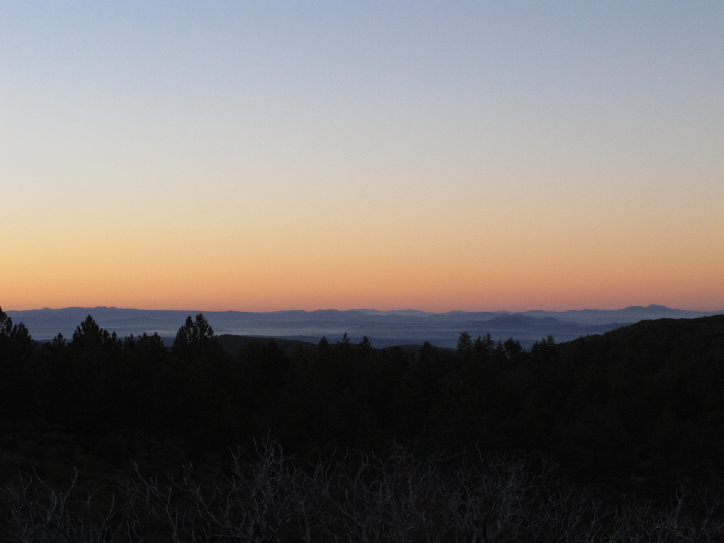
On the road to the trailhead in Mount Laguna, the sun started to peek out behind the eastern mountains, bathing Sheephead Mountain in a beautiful orange glow. The smoky mountains to the south seemed to go on forever.

The orange sunrise on Sheep Mountain
I was also excited to be completing a peak on the Sierra Club's Hundred Peaks Section.
I got to the trailhead, and once again, I was the only person within a few miles. Although the sun was shining a little on me, the icy wind chilled me to the bones after leaving my heated car. I put on some layers and headed out on the trail.
As I started hiking, I was happy to be warming up with the exertion. The trail went downhill, out of sight of the sun, but I was warm enough by then and the trees and canyon shielded me from the wind.
I have read that this trail skirts and plunges through private property (Update: it stays on public land the whole way), so I was on high alert, as I don't want to recommend anyone entering private property on the way to a peak.
Sunrise to the south
I rounded a corner and saw Sheephead Mountain in front of me, with the boulders on top that look, to me, like an entire sheep, not just the head. I followed the path, getting used to the idea that any elevation gain would be in the last .4 miles.
I came across a gate that said I could be arrested if I went into the property. All of the trail reports online instructed me to head on through.
After pouring through some online maps after I've returned, the true property line for the private lane is further along the road, and if you follow a very slight trail where there is a stacked rock, you will avoid private land altogether. (See maps below)

Getting closer to Sheep Mountain
I found the bottom of the wash as described in other trail reports and headed on up. And by up I mean up.
I gained 624 feet of elevation in .4 miles. With the sandiness of the trail, my loss of conditioning due to the flu, and the manzanita tearing at the skin on my shins, it seemed like a lot longer than .4 miles. I turned around and could see the valley below where I came from.

The Valley Below
The winds continued to increase, the further up I got, and I realized how close I was to Monument Peak, where I got blown all over the place. I made it to the top and was presented with a view of Cuyamaca Peak and Stonewall Peak and most of the southern section of Cuyamaca Rancho State Park.

The view from atop Sheep Mountain
I found some shelter in the lee side of the stone before I made my way back down. The views were incredible and I could see forever. Another great morning of hiking. I recommend wearing long pants, due to the manzanita on the use trail.
Sheephead Mountain Trail Map

Sheephead-Map
