El Cajon Mountain (El Capitan) - Peak 49 - Uphill Both Ways

Sunrise over El Cajon Mountain
El Cajon Mountain
Elevation Gain: 4,000′
Miles: ~11.2
Trailhead: El Cajon Mountain Trailhead Parking
Agency: El Capitan County Preserve
Dates Hiked: 10/24/2010, 12/29/2019
Peakbagger.com Page
For those interested, here is a list of my gear that I have found works well for me. This is, of course, an affiliate link and your enjoyment of these may vary:
10/24/2010
First of all, I'd like to congratulate Tom, a hiker I saw going up while I was on the way down, for being the first person to ever recognize me from this website while hiking on a trail.
Pretty cool. I'm famous now. Tom, if you're reading this, send me an email and I'll send you something useful.
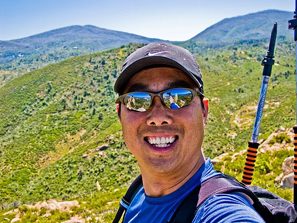
Now for the hike. This was the first time I even bagged a peak with a group, which was SoCal Hikers and Peakbaggers. It was a group of five of us that arranged carpooling and was led by Maya, a very capable hike leader.
We got to the trailhead and it was a cool morning. The way I like it. We headed up the road and started gaining elevation quickly.
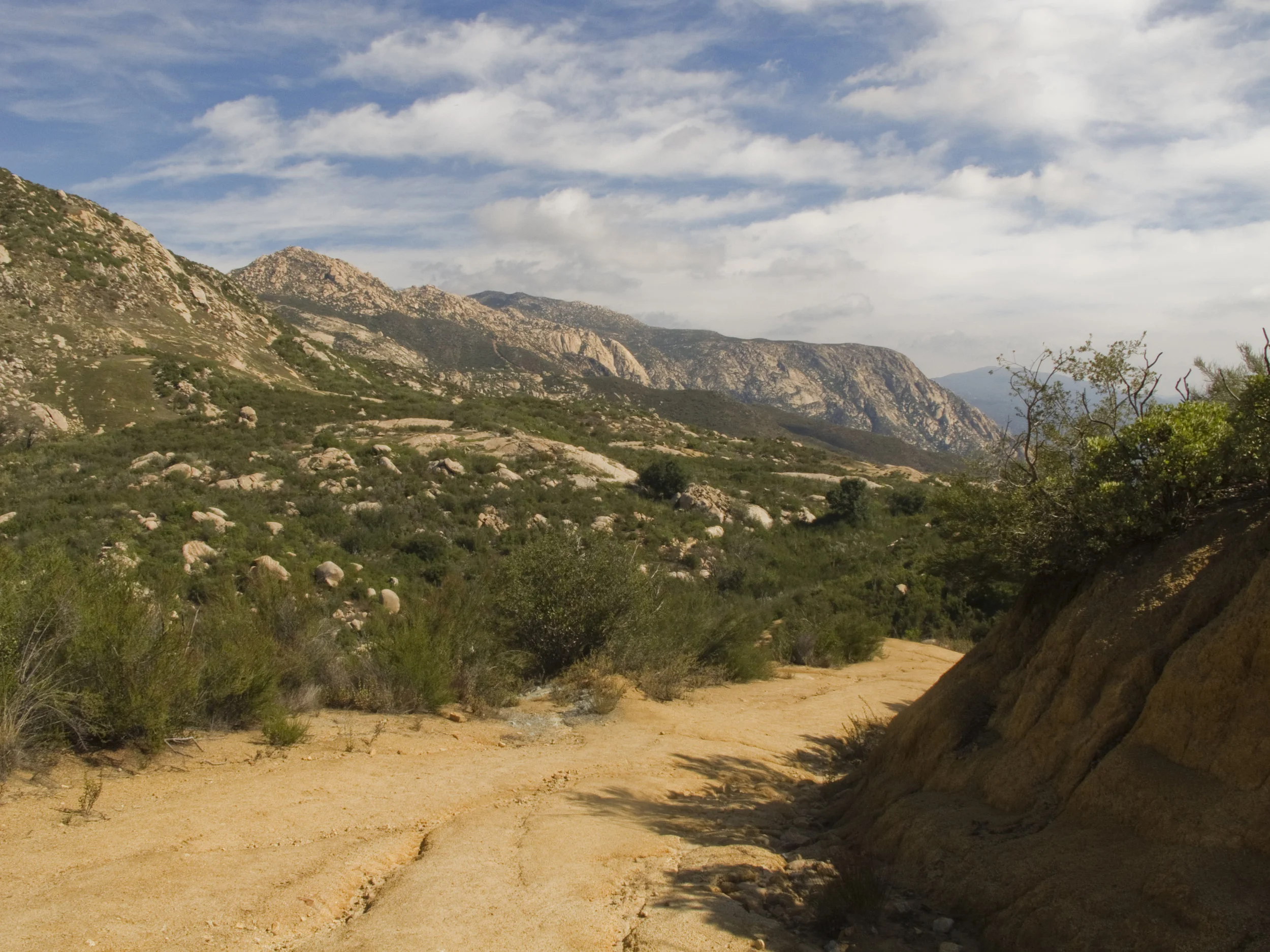
Once we warmed up, the first switchbacks didn't seem that steep. Once we topped the first rise, we got a view of El Cajon Mountain in the mist. Our destination was miles away. It didn't seem likely that we would get there today.

The group, getting started on the trail
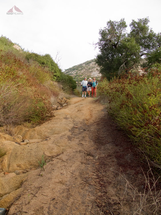
The group, still fresh and smiling

Car shell on the way to El Cajon Mountain
But we moved along the trail, happy that the recent rains had left the trails moist enough to not be dusty, but not enough to be muddy. The conditions were perfect. The uphill sections were pretty steep and I was highly aware of the downhill sections, as we would be climbing upwards on the way back.
The morning flew by as we chatted and I got to know all of my new acquaintances. We passed an old shell of a car, which is a remnant of the mining (or bootlegging) that occurred on the mountain.
After several more ups and down, we reached the foot of El Cajon Mountain, known locally as El Capitan. We looked up at the steep use trail which meandered up the side and we went for it.
It wasn't as steep as some of the trail reports had led me to believe. I only had to put my hand on a rock once or twice, not the boulder scrambling that had been described to me.
Before we knew it, we were on top. The views were incredible. To the east, we saw Cuyamaca Peak and its neighboring mountains, Eagle Peak and the San Diego River Valley to the northeast, and Mount Gower to the northwest.
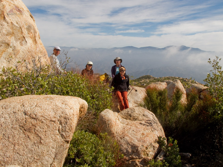
The group at the summit
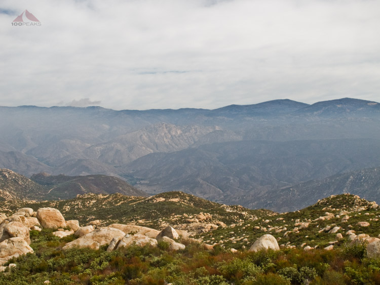
Eagle Peak and the San Diego River Valley

El Cajon Mountain Benchmark
We chatted on the peak, had some snacks, and enjoyed the view. Reluctantly, we shouldered our packs and started the long way "down." The first two miles went quickly, then the undulating topography started taking its toll.
Legs already a little tired from the way up were once again faced with steep inclines.
Heart racing and lungs wheezing, I was surprised by the effort as the day warmed up, even though I knew this was coming. Stopping in some shade, I was startled by/startled a rattlesnake, my first sighting since I started my peaks quest.
There’s something to be said for early starts.

The trail back home
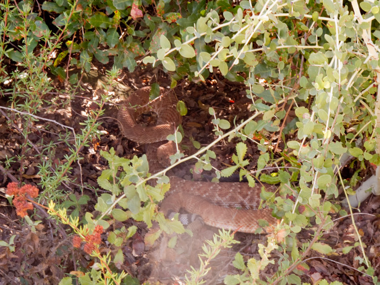
My friend the red diamond rattlesnake
Once, nearing the trailhead, I turned and looked back. I could see the familiar face of El Cajon Mountain, which could be plainly seen from many parts of the county. I've been looking at it for several years now, especially in the morning light on my way to Cuayamaca or Mount Laguna.

A last look back at El Cajon Mountain on the way out
I've hiked it now, happy that I've done it. It's been on my list, but since it's 11.2 hard miles, I have been putting it off. Luckily, I was able to do it with a great group on a day with perfect weather.
Update 10/26/2010: I wanted to add Maya's picture of the snake, as it had slithered to middle of the trail by the time they got there.
Update 12/29/2019: I joined Chris Griffith to El Cajon Mountain on his completion of the San Diego 100 Peaks Challenge. He got his last peak within two days of the end of the year.

El Cajon Mountain Trail Map (Click to Enlarge)