Arlington Peak - Peak #21 - Getting above the clouds
Arlington Peak
Elevation: 3,253′
Mileage: ~4.5
Trailhead Map: Inspiration Point Trailhead
Agency: Los Padres National Forest
Dates Hiked: 06/02/2013
Peakbagger.com Page
For those interested, here is a list of my gear that I have found works well for me. This is, of course, an affiliate link and your enjoyment of these may vary:
Looking west from Arlington Peak
06/02/2013
I had attempted Arlington Peak back in December, but a late start, causing me to park about a mile away from the trailhead, and an afternoon appointment made me turn around before I could reach the summit. Another thing I've noticed is that on some maps online, it is labeled as Cathedral Peak. As you can see from my earlier hike, Cathedral Peak is somewhat behind Arlington, but both are on the same ridge.
But this time, I woke up earlier, but still not as early as I normally do. But as most of the locals don't start hiking until 9AM, an 8AM start time was just fine.
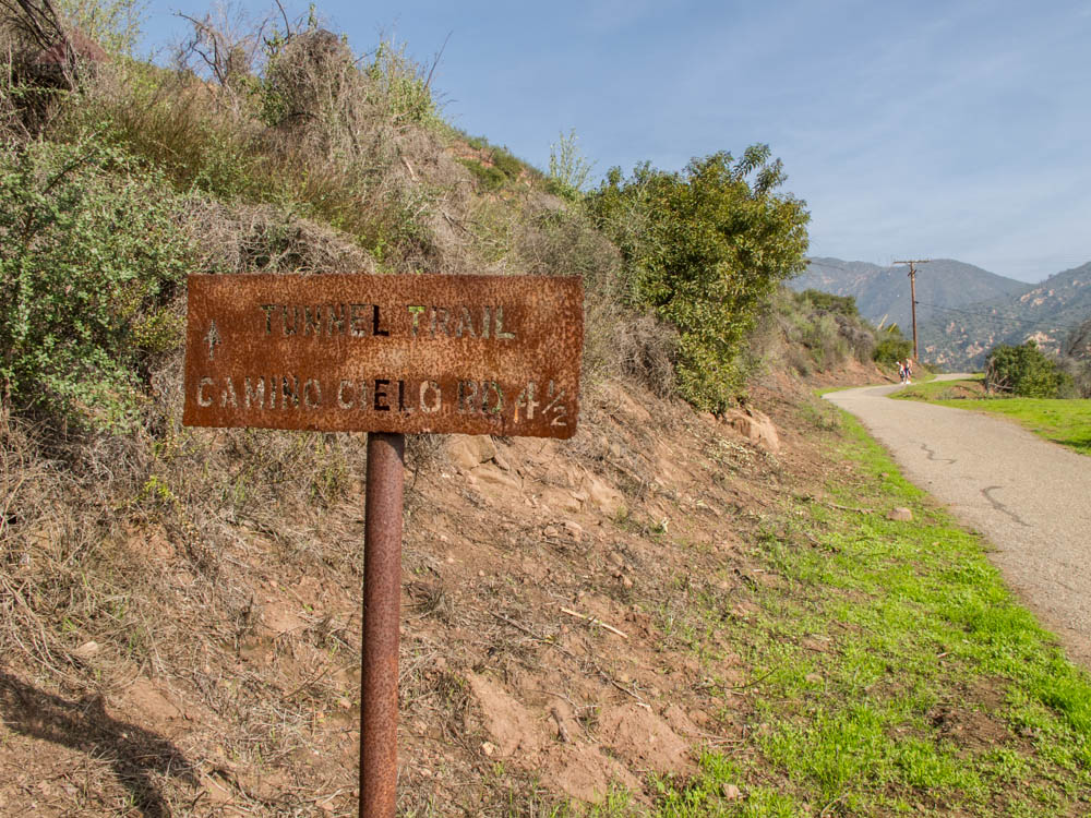
I got a parking spot along Tunnel Road, not too far from the trailhead. I got some looks from the casual hikers who stroll along the fire road, or who walk their small terriers daily. I had trekking poles and my hydration pack. My belt-mounted camera bags for my Canon G11 and my GoPro rounded out the look.

The Trailhead Gate
The Trailhead Gate

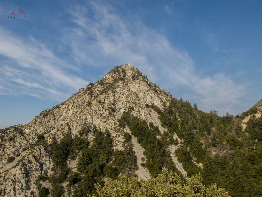
Arlington Peak from the Tunnel Trail
June Gloom made the morning cool as I hiked up the Tunnel Trail Road, a road the Edison power company use to access their equipment, but is a very popular trail.
In December, it was an unusually sunny day, so people were hiking in their swimwear, hoping to have a fun day at the waterfalls. However, the waterfalls are only accessible via scrambling up the creek bed lined with poison oak, so perhaps hiking in a bikini might not be the best thing.

Along the Tunnel Trail
I reached the junction of the Jesusita Trail and the Tunnel Trail and continued west and downward towards the creek. A small trail split off to the left again as I descended and reached the creek. I spied some people here.
They were staring at the dry creek bed, looking disappointed that they would not be able to splash into the water today. Without pausing, I hopped along some rocks and continued up the ridge line.

Tunnel Trail and Jesusita Trail Sign
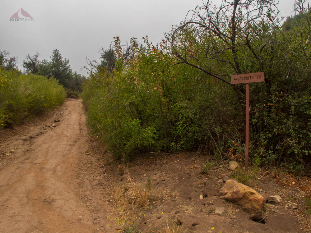
Jesusita Trail Sign

Mission Canyon Creek with Arlington Peak Trail to the left
I had to thread the needle between some lush poison oak, already turning red due to the dryness of this winter. This part of the trail was steep, which is why I brought my trekking poles.
They aren't really needed for the majority of this hike, since they only get in the way, but I appreciated having them during the more steep and loose sections.

Poison Oak along the trail
I continued to scramble up, really warming up. In December, when it was a lot warmer than this day, I encountered a hiker, carrying an empty Fanta bottle, who asked me, "Is this the way to the waterfall?" I looked around, halfway up a steep ridge, and said no. At least he had the sense to ask for directions.
I apologize, I realize that I am a hiker snob. But I spend a lot of time on the trail and make a considerable effort to make sure I know the trails and I hope to never have to rely upon anyone else to haul me out of the wilderness.
On popular trails, however, I encounter many people who never even look at a map before they set out or never bring water. I don't know what it is about waterfalls that attracts irresponsible people.
But I digress. I stowed my trekking poles, put on my lightweight gloves, and continued scrambling up the ridge. There was a middle section of the ridge that wasn't so steep, but for the most part, I was looking ahead and upward toward the top.
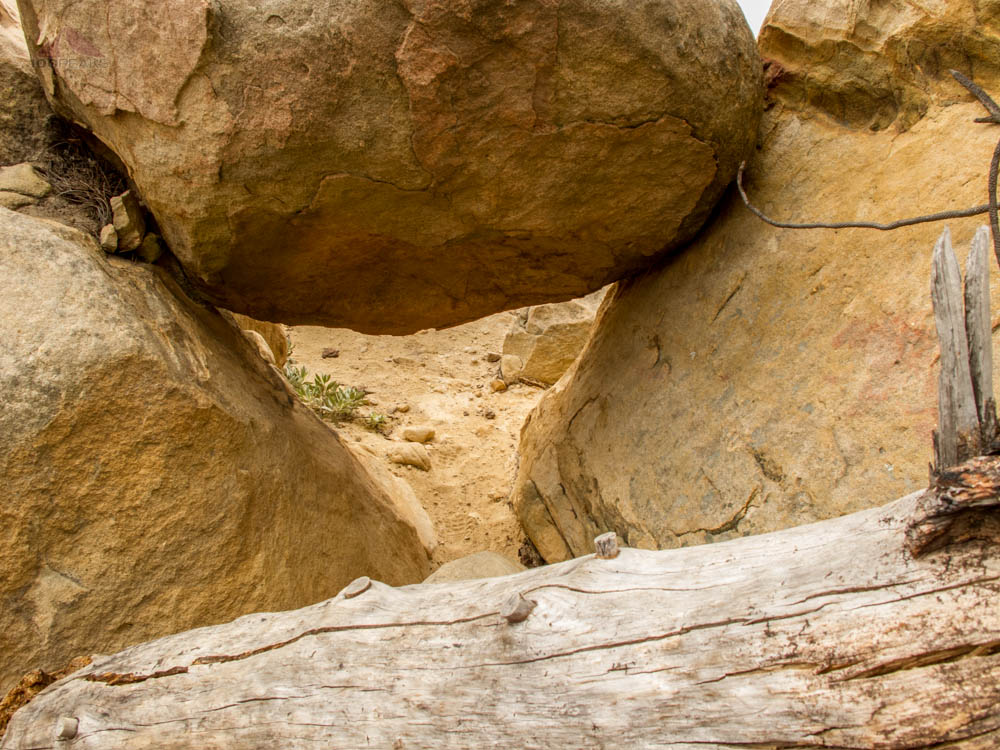
I was gasping for air much of the time, but the class II and III scrambling was downright fun. I had to do some route-finding, since much of the way isn't really on a trail. But I kept vigilant and would find the way again.

Scrambling up the Arlington Peak Trail
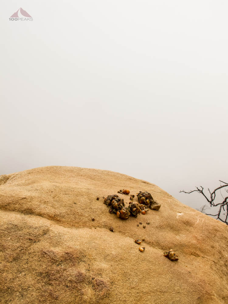
Scat on an exposed rock

The Arlington Peak Trail
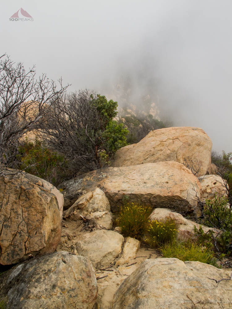
The way up along the rocky ridge line
Sometimes, I would have to scramble under rocks, taking care not to get my pack or trekking poles stuck on the rocks above me. And sometimes, I was pulling myself up a rock. I would have to scan repeatedly to see what was the easiest way up.
And I started seeing the sun peeking out of the clouds. I was happy to see the sun, but it was instantly hot when it hit me. From time to time, I would be able to see Arlington Peak, or what I hope was it. This was one of those hikes where I wouldn't believe I would see the summit until I could no longer continue climbing.
In the middle of the trail, I found two water bottles. Scanning around, I saw some more that had been thrown into the brush, along with some Subway trash. I gathered as much as I could, and later picking up someone's tank top and a Gatorade bottle. My pack was overflowing with other people's garbage.
I don't think I need to start another rant. If you are reading this blog, you are likely part of my choir. People suck sometimes.
Climbing through this was fun
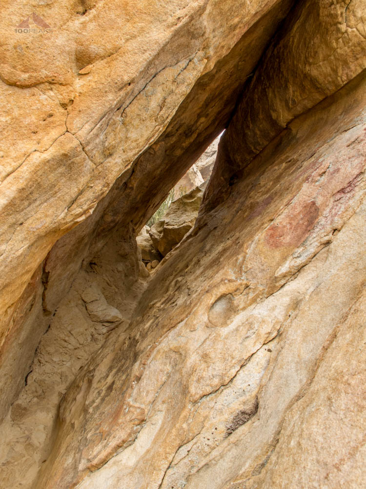
Crawling is sometimes necessary
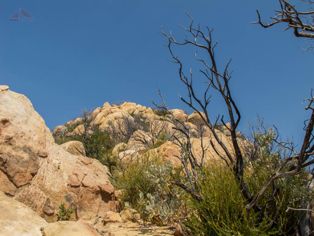
Even Nearer to Arlington Peak
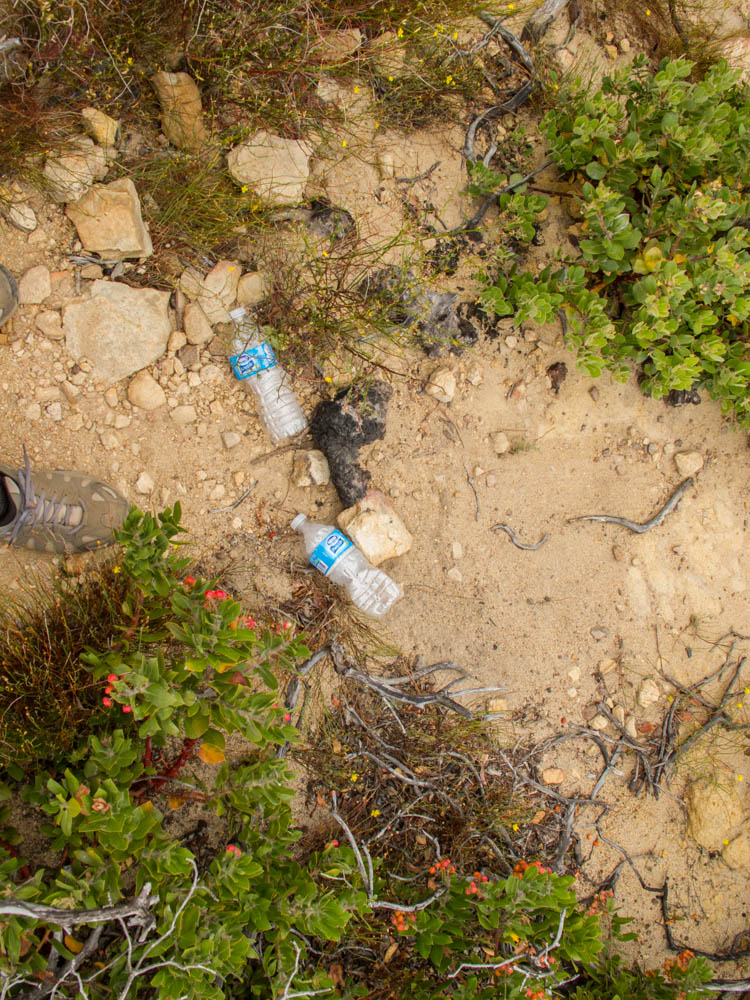
Some of the trash found along the trail
This hike has over 2,500' of elevation gain in about 2.25 miles one way. However, most of this gain is in the last half of the hike. In my world, if you are climbing anywhere near 1,000' per mile, it is pretty steep. The last half of this hike is much steeper than that. So bear this in mind: you will be sucking air for a bit.
Before long, I could see a large boulder, ironically vandalized with a large peace sign. Therefore, I knew I was near what at least most people would think is the top.
I climbed up to that boulder and noticed that it wasn't the high point, so I descended a little bit and headed towards a higher spot. I almost stepped on a small rattlesnake that was resting in the cold dirt, waiting for the sun to reach it. I sat and watched it for a bit, until it decided it had enough of me and it slowly made its way into the manzanita.
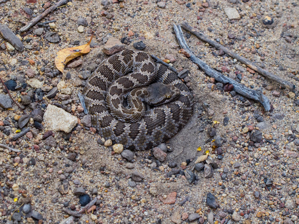
Juvenile Rattlesnake along the trail
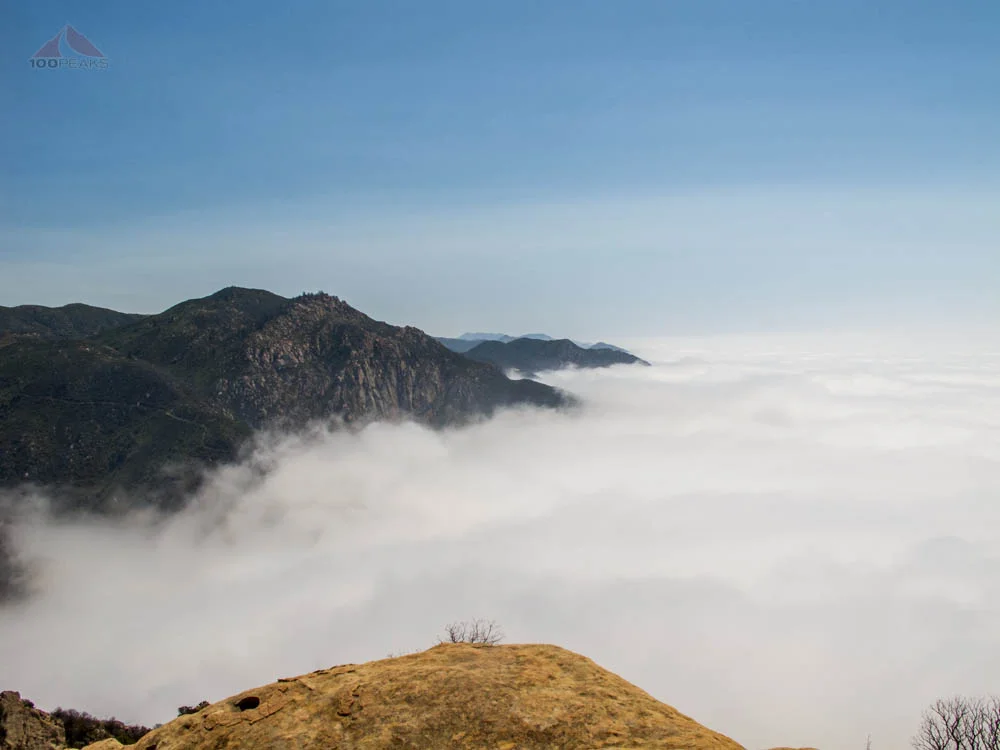
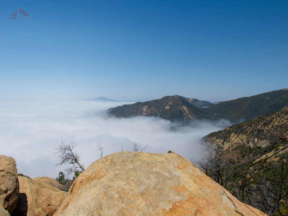
I climbed to the top of the boulder, in full sun and enjoyed the silence of being above civilization. It's almost as if the marine layer was a buffer between the complexities of my modern world and the peace of the wilderness above.
I relaxed on that rock, enjoying the warmth from within. I've made it a point lately to spend more time on the summits, and this was no different.
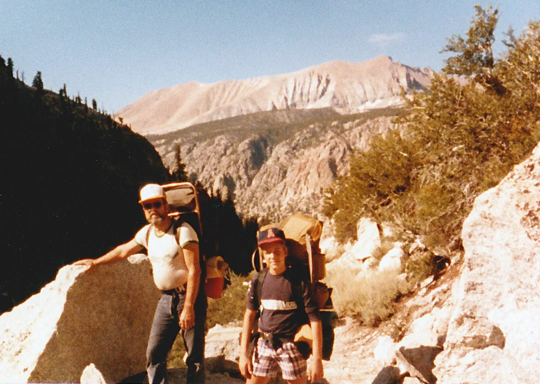
I recalled a picture that I took from Cathedral Peak, just behind me, of two hikers at this summit and I am happy to see that I finally made it here myself, nearly a year and a half later.

Above the clouds on Arlington Peak

Cathredal Peak and La Cumbre Peak from Arlington Peak
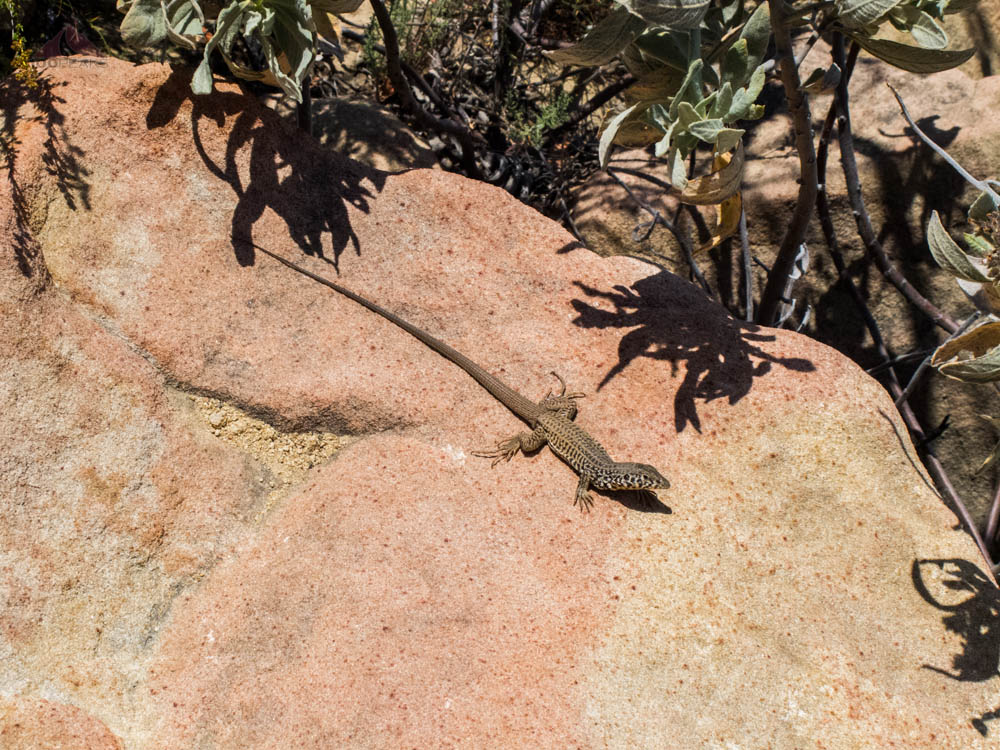
One of the many large lizards along the trail
I knew I was going to be moving soon, about 15 minutes down the road, so getting to the trailhead wouldn't be as easy as it was on this day. I was glad I did it and was glad I took some time to soak up the sun.
I headed down, thankful for my gloves and almost hooted at how fun it was. Later in the week, my upper body was a sore as my lower half. I saw that as a testament to how I totally enjoyed this hike/climb.

Arlington Peak Trail Map (Click to enlarge)