White Mountain Peak - A 14er in a Truly Stunning Landscape
White Mountain Peak
Elevation: 14,252′
Total Mileage: ~14
Trailhead: White Mountain Trailhead
Agency: Inyo National Forest
Dates Hiked: 07/24/2013
Peakbagger.com Page
For those interested, here is a list of my gear that I have found works well for me. This is, of course, an affiliate link and your enjoyment of these may vary:

White Mountain Peak
White Mountain Peak is the third highest peak in California and one of the 14ers. I had been wanting to climb this one for a long time, since one of my twitter friends kept posting amazing photos of the area. He also posted a picture of the summit register that another twitter friend placed that showed a lynda.com sticker. It was time to go.
07/24/2013
I woke up at 3:30AM in Santa Barbara, having gone to bed at 1:30AM. I was a little tired, but pumped at seeing the White Mountains. My primary goal was to pick up a wilderness permit at the Eastern Sierra Interagency Visitor Center for my backpacking trip to Chicken Spring Lake, which started the next day. Due to the poor messaging in their communications, I didn't realize that I could have picked up the next day.
On the way, I got a direct message from my friend that storms from the night before caused the closure of the road to White Mountain. I started thinking about alternate plans. Should I try to get a permit for Mount Whitney? Or should I ask the ranger for alternatives? By the time I got to the Visitor Center, however, I got an update that they had opened the road, with controlled access.
After I picked up my permit in Lone Pine, I continued north to Big Pine, where I took the 168 East into the White Mountains. Before long, I was in a line of cars with the engines off, waiting to be let into the single lane of traffic ahead.
Some heavy storms the night before had sent mud across the road and the crew was hard at work cleaning it up. In about 20 minutes, we were back in our cars and heading east.
I turned on White Mountain Road and was immediately treated with views of forests and gullies that led off into the distance. There were hardly any visitors and I could truly imagine getting lost (on purpose) up here.
I passed several stands of ancient bristlecone pines and eventually the visitor center, past which the road was no longer paved. It was in pretty good condition and showed some pockets of mud and puddles from the rain the night before.
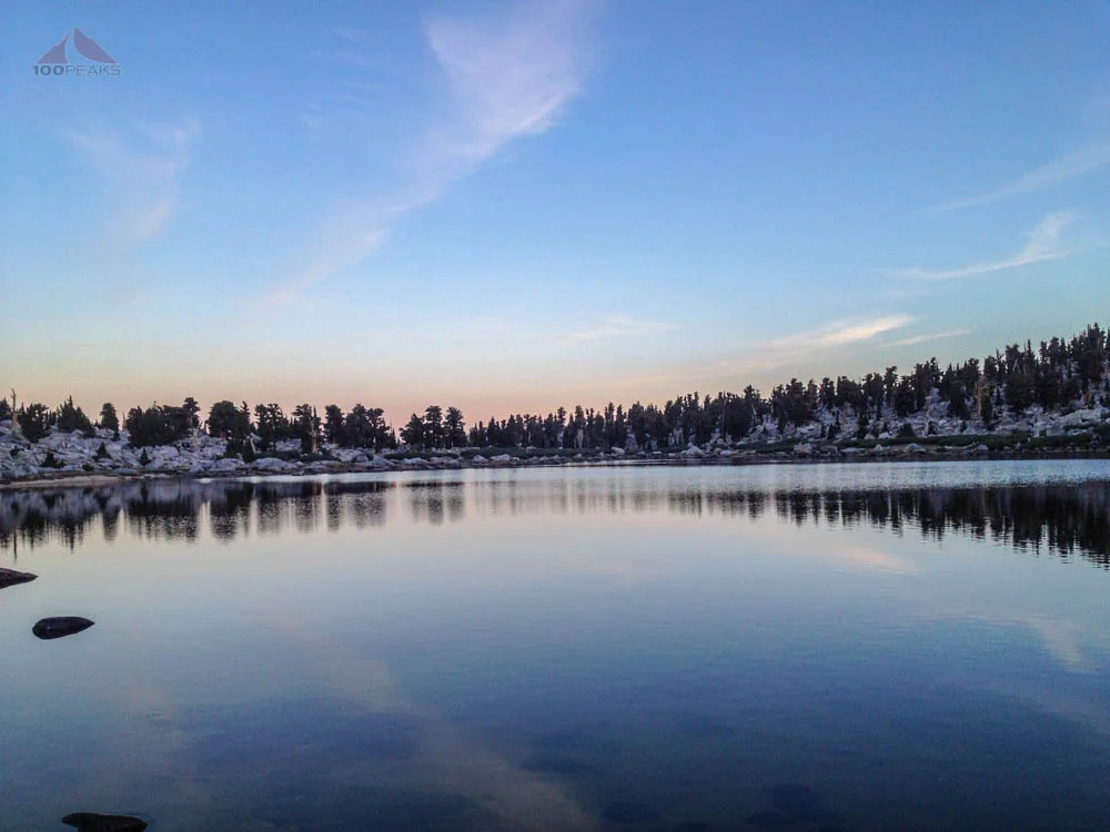
As I rumbled over the hills, I was entranced by the sheer variety of ecotones. Topping the next rise would present me with an entirely different environment. First would be what appeared to be a traditional pine forest, then chaparral, then ancient bristlecone pines, then a grassy plain, then an alpine tundra. It was all very beautiful and I noticed the distinct absence of crowds.
They were all over on the other side of the Owens Valley, getting threatened by rain by the ominous clouds over the Sierra Nevada. But here, I drove for miles and miles without seeing another car or person. I could get used to this.
I met my friend who was able to drive me a ways up the road, shaving some miles off the route to the top. Still, with only two hours of sleep and coming from sea level, I had some dizziness and some shortness of breath. But I've been able to overcome this before and was able to overcome it again this time. It was a fairly rocky, reminding me of my hikes up to Mount Whitney and Windom Peak.
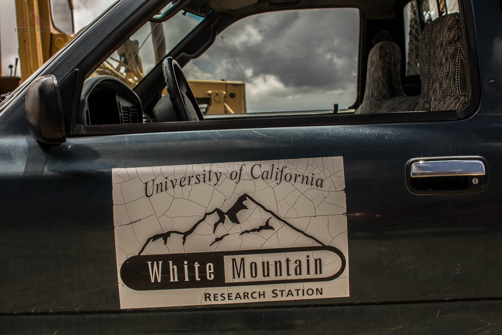
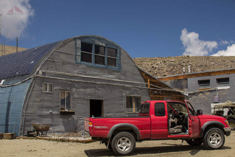
White Mountain Research Station

The Tundra of the White Mountains
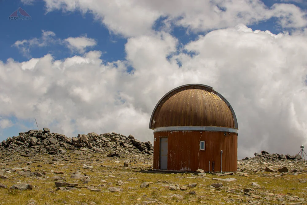
There's not much to say about this hike, except it followed the access road past an observatory, the Barcroft Research Station, some penned sheep for research, and about a million chubby marmots. Certain parts were steep, exacerbated by the elevation.
My friend, who lives between 10-12,500' of elevation, did not have a problem at all. As a matter of fact, he had just been to the top the day before and would likely be visiting it again the next day. I placed my trust in his ability to read the clouds. He assured me we were not going to be rained on today, and were safe from lightning.
The Barcroft Research Station on the way to White Mountain Peak

The Barcroft Observatory Dome on the way to White Mountain Peak
White Mountain Peak
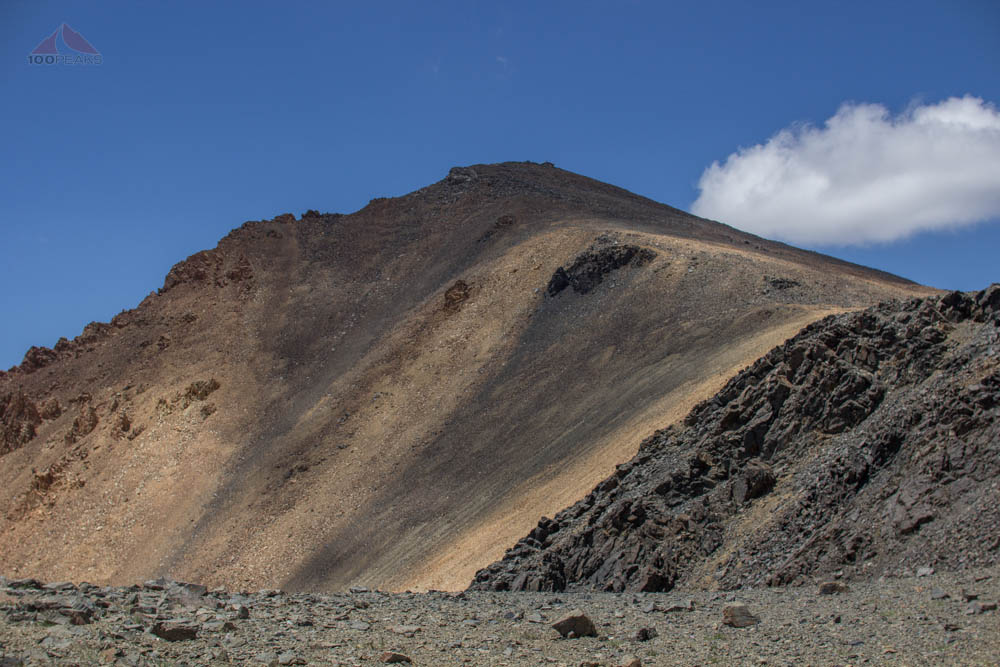
White Mountain Peak

Getting closer to White Mountain Peak
We made it to the summit of White Mountain Peak and hung out by the summit register. The view was amazing.
We shared a lot of our outdoors experiences with each other. We had traveled to many of the same places. We chatted nearly the whole time, except when I let him get ahead, so that I would stop talking. Chatting too much would cause me to lose my breath completely.

The White Mountain Peak Summit Lab
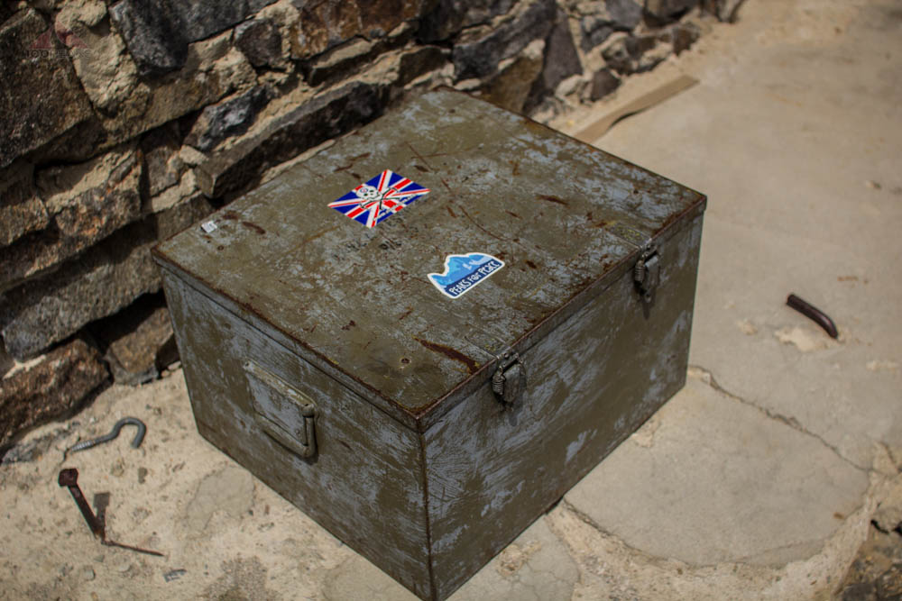
The White Mountain Peak summit register

Serendipity
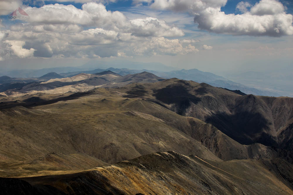
The view to the south from White Mountain Peak
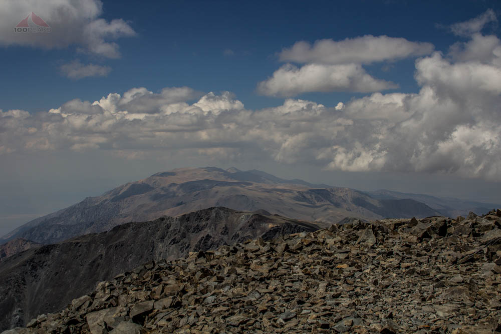
The view north from White Mountain Peak

The view east from White Mountain Peak
We headed back down, which was a world easier than going up. We saw a herd of big horn sheep above the road and many raptors, touring the area.
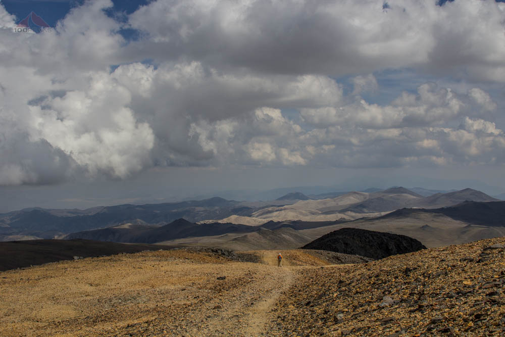
Heading down White Mountain Peak

A herd of Big Horn Sheep on White Mountain
We parted ways. It was great to have finally met my friend, but I had to get down the mountain before it got dark. I retraced my paths, enjoying the great views and taking some mental notes on places I'd like to visit upon my return, including the Ancient Bristlecone Pine Forest.
One the way out, I drove past a lone horse, a tiny black speck in an ocean of sage.
It was Campito, reportedly an escaped pack horse, living alone in the White Mountains for many years. Just another additional interest to this amazing landscape, seen by so few.
Update 2022: It has been confirmed by Inyo National Forest that Campito, the wild horse of the White Mountains, has passed on.
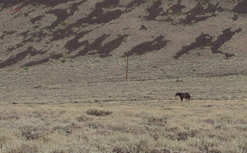
Campito, the lone wild horse of the White Mountains