


Peak 76 - Pinyon Mountain (P4492) - A short desert ridge trek
Pinyon Mountain
Elevation: 4,492’
Mileage: ~1.5
Trailhead: Turnout off Pinyon Mountain Road north of Whale Peak Trailhead
Agency: Anza Borrego Desert State Park
Date Hiked: 12/28/2017
Peakbagger.com Page
For those interested, here is a list of my gear that I have found works well for me. This is, of course, an affiliate link and your enjoyment of these may vary:
12/27/2018
This is a fairly short hike, so it’s probably best to combine it with Whale Peak, like we did. One of my rules of hiking is that the drive time can’t be longer than the hike itself.
My friend, Chris, wanted to do both Whale Peak and Pinyon Mountain in the same day, as he was knocking them off his list. Since I hadn’t climbed Pinyon Mountain yet, I was happy to go.
We made the drive through Anza Borrego Desert State Park to Pinyon Mountain Road, a nice dirt road that used to be a little more challenging, but I believe a large rock had been removed since I first did Whale Peak in 2011. I recommend an AWD car with high clearance, but I’ve heard that high-clearance 2WD vehicles have done just fine.
We drove to the Whale Peak Trailhead, noting that the Pinyon Mountain Trailhead is just across Pinyon Mountain Road, on the north side.
We made it up and down Whale Peak and had a great time in nice weather. On the way, I successfully scouted for a nice campsite near the peak. A month later, I had a memorable backpacking trip to Whale Peak with my daughter and the PD and his daughter.
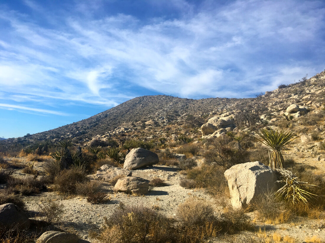
We made it back to the car and relaxed with a nice snack and some water before we headed up the side of the ridgeline toward Pinyon Mountain, minimizing the angle of slope.
This turned out to be a mistake, since the side of the ridge was very loose and filled with all sorts of spiny hazards.
The way up the side to Pinyon Mountain, not the right way - Photo: Chris Griffith
We finally decided to make a beeline to the top of the ridge and the way was much easier. We had to go cross country, skirting some larger bushes and rocks. We each had our methods of avoiding the brush.
Before long, we were at the top. The views were similar to Whale Peak. It was a pretty short hike and I was tired from the first hike, so I only took one picture on Pinyon Mountain.
We turned around and decided to go all the way along the ridge until we were just above the car and then drop. It turned out to be the right way to go. Atop the narrow part of the sandy ridge, there was a clear use trail, as well as some cairns. When then dropped down the steep sandy hill above the car and knew that would be the right way to go if we ever came back up.
We relaxed into the car and cruised along the dirt road out of the desert as the sun dipped below the mountains before us. A great closing to a long day of hiking.
Pinyon Mountain Trail Map (Click to enlarge)

