Peak 36B - Red Butte - Enjoying the stunning views of Torrey Pines State Natural Reserve
Red Butte
Elevation: 320’
Mileage: ~3
Trailhead: Torrey Pines State Natural Reserve Parking Lot
Agency: Torrey Pines State Natural Reserve
Dates Hiked: 11/01/2003, 11/15/2006, 01/01/2006, 07/03/2015, 08/20/2017, 01/01/2018, 05/23/2018, 08/22/2021, 05/15/2022
Peakbagger.com Page
For those interested, here is a list of my gear that I have found works well for me. This is, of course, an affiliate link and your enjoyment of these may vary:
Note: In 2018, this peak replaced Peak 4159, due to proximity to private property.
05/15/2022
This peak is one I’ve been to many times over the years. So this post will be slightly different than others. It won’t be describing a single experience of hiking to it, but more of a detail of how I tend to hike it.
Note: It is always recommended to take this loop hike at low tide. You can check out the tides at the NOAA tide website.
Since our family tends to visit California state parks fairly frequently, we purchase the annual pass for California State Parks, called the California Explorer Annual Day Use Pass. So we park in the lower lot and start our hike. Sometimes, depending on the fitness level of our guests, we park in the upper lot for a shorter hike.
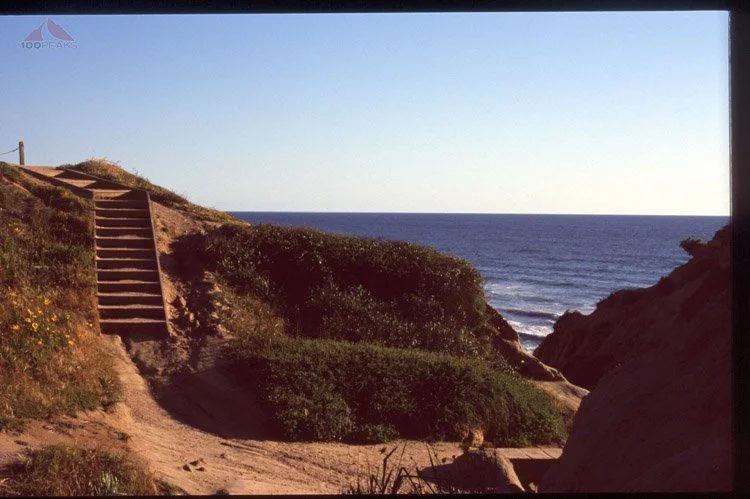
We take the stairs at the southern edge of the lower parking lot and stroll up the Torrey Pines Park Road, normally with a lot of other day hikers.

Views to the coast above Torrey Pines
The trail crosses the road from time to time, so be on the lookout for automobile traffic. It can get a little steep, so it’s a popular regular exercise route for many local residents. For that reason, and the upcoming views, it can be very busy at times.
You’ll pass the optional trailheads for the Guy Fleming and Parry Grove Trails.
After hiking up the road, it flattens a little bit near the top and you’ll see a sign for the High Point Overlook. This optional short hike will lead up to the high point of the park and the Torrey Benchmark.

Torrey Benchmark
After some great early views of the coast, we then typically head back across the road to the upper parking lot and trailhead to the Beach and Razor Trails.
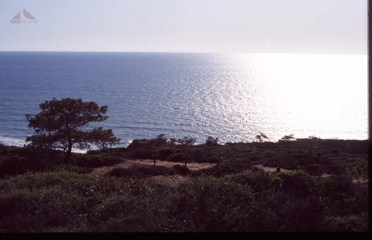
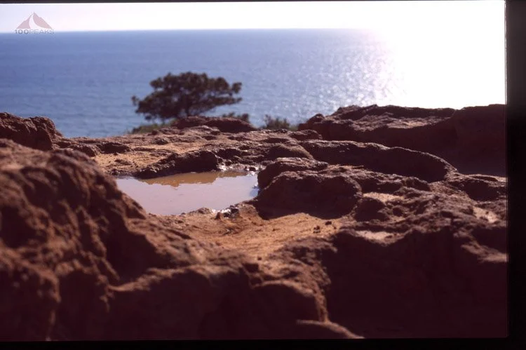
Hiking down the trail for just little bit leads us to Red Butte, an exposed bit of red sandstone with an amazing view of the Pacific Ocean below.

The view from Red Butte on a cloudy day in 2022
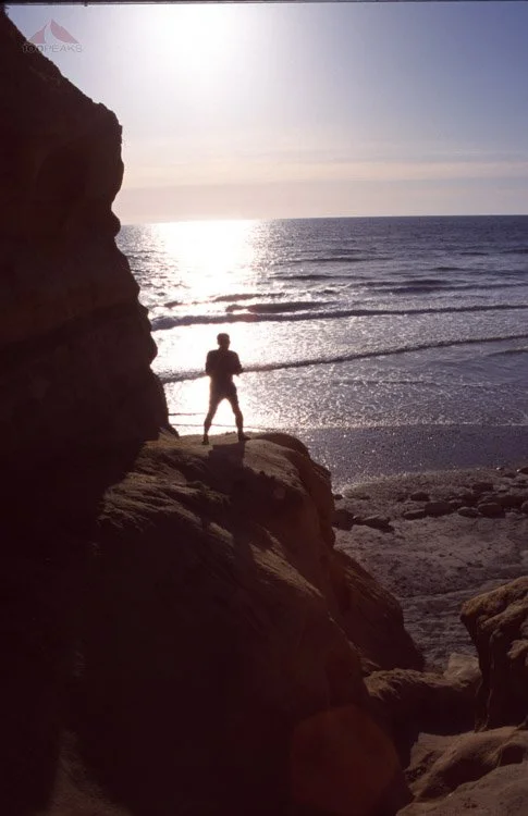
We then follow the trails ever downward, stopping occasionally at one of the viewpoints until we take the final stairs down to the beach below.

Views along the Torrey Pines coast
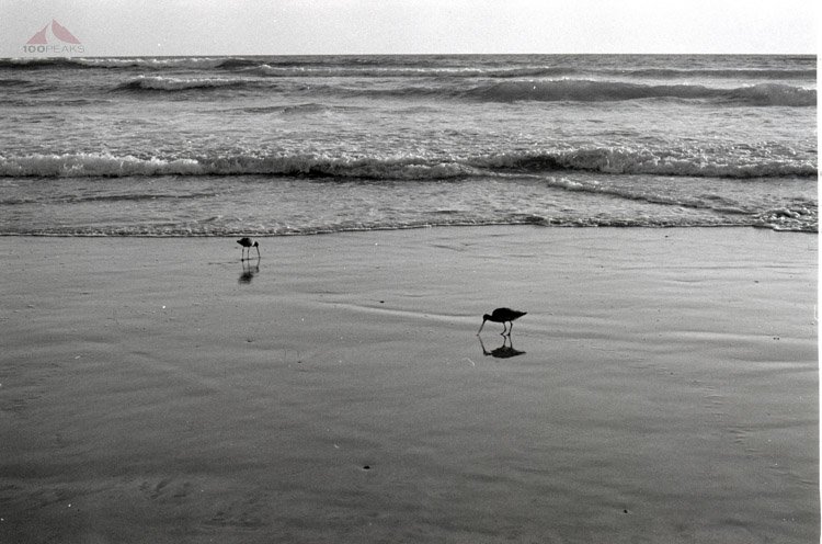
We typically explore the beach as we stroll below the scenic cliffs, enjoying the sounds of the waves and the smell of the sea. We sometimes take off our shoes and let our feet feel the soft sand, as we slowly make our way back to the car.

Walking along the Torrey Pines coast
This is a quintessential San Diego hike and one on which we bring many of our out-of-town guests.
Red Butte Trail Map (Click to enlarge)