


Combs Peak - Peak #15
Combs Peak
Elevation: 6,193'
Miles: 4.7
Trailhead: Combs Peak Trailhead
Agency: Anza-Borrego Desert State Park
Date Hiked: 10/10/2009
Peakbagger.com Page
For those interested, here is a list of my gear that I have found works well for me. This is, of course, an affiliate link and your enjoyment of these may vary:
10/10/2009
This was my first 100 Peaks hike with an adult companion, Robb Boyle, another adventure blogger and peakbagger (Now photographer!) who wanted a change from the charred slopes of Angeles National Forest.
It was nice to be able to chat about our respective experiences along the trails. Combs Peak is also listed on the Sierra Club's Hundred Peaks Section. The miles flew by quickly and I nearly forgot to take notes about the route.
After meeting at a Park and Ride, we had a foggy drive through southern Temecula, Warner Springs, and about 4 miles on a dirt road, and arrived at the trailhead.
On the way, we encountered a buck and a doe just off the road.
A buck along Lost Valley Road
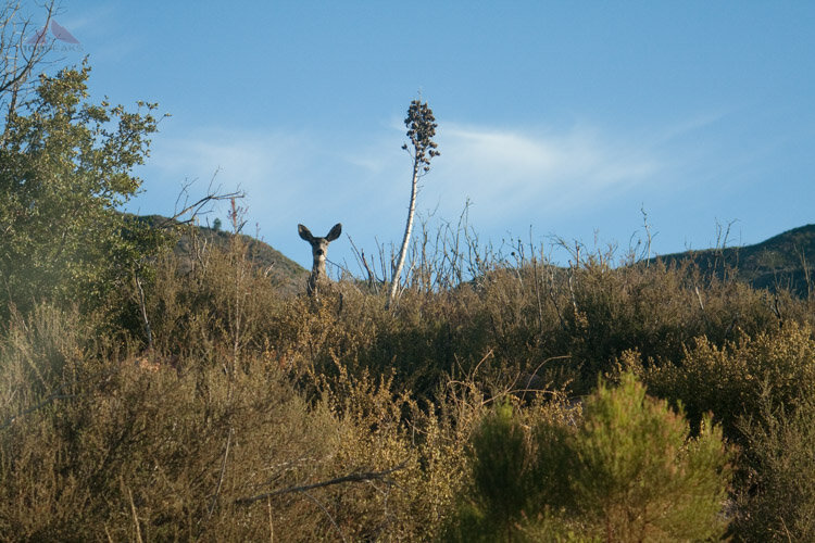
A doe peeking at us
The air felt a little chilly as we got started north on the Pacific Crest Trail. Just about 100 feet from the trailhead, we found a cache of water for PCT thru-hikers, as well as a register for those who are making the attempt.
There is very little water available in this section of the PCT at any time of the year, so it was not surprising to find water here at this junction. Mike’s Place, a PCT Trail Angel Haven, is just down the road.
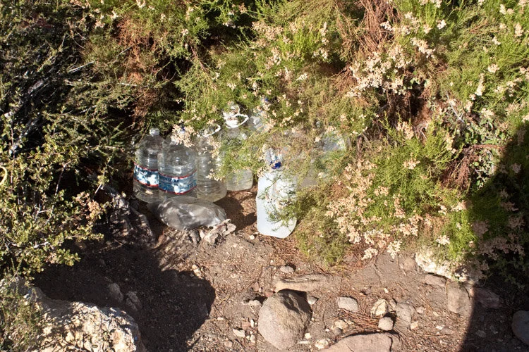
PCT water cache
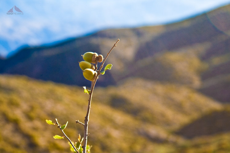
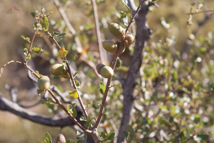
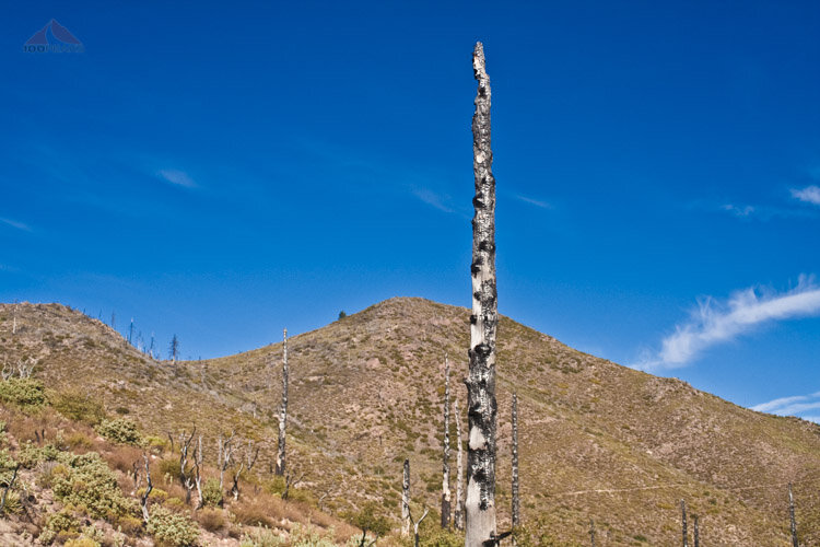
There was still evidence of the 2003 Coyote Fire that swept through the area. Burnt trees rose like charred telephone poles, lining the trail to the saddle. Other plants, such as small oaks, were definitely healthy and have made a comeback, covered with acorns.
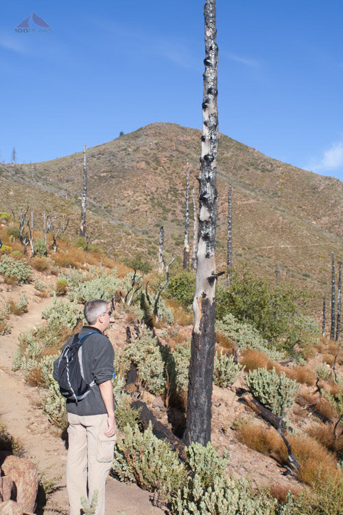
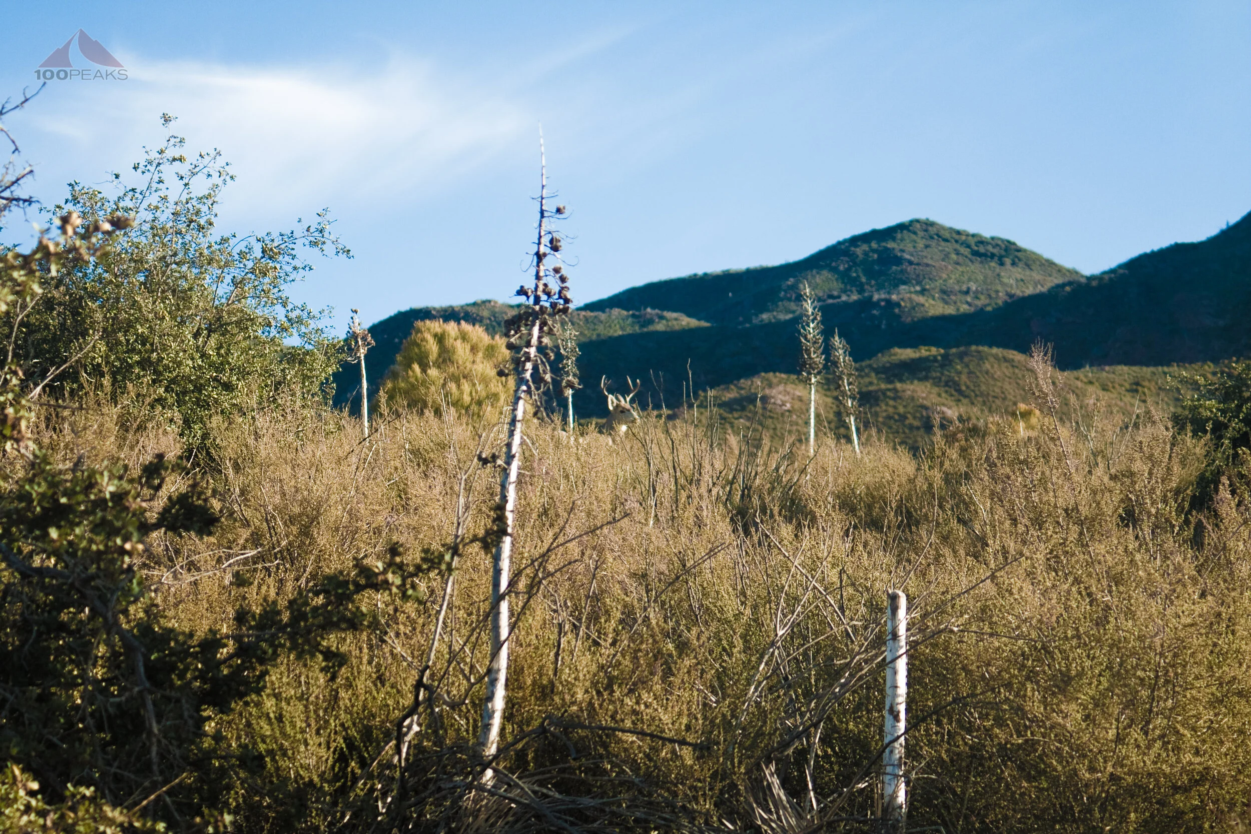
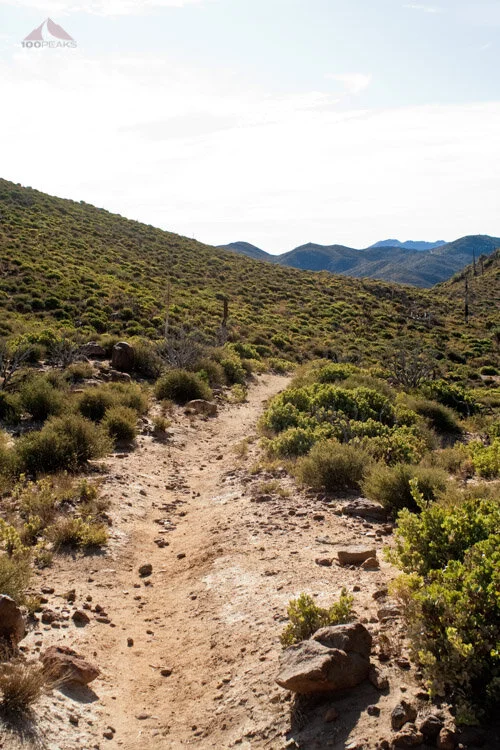
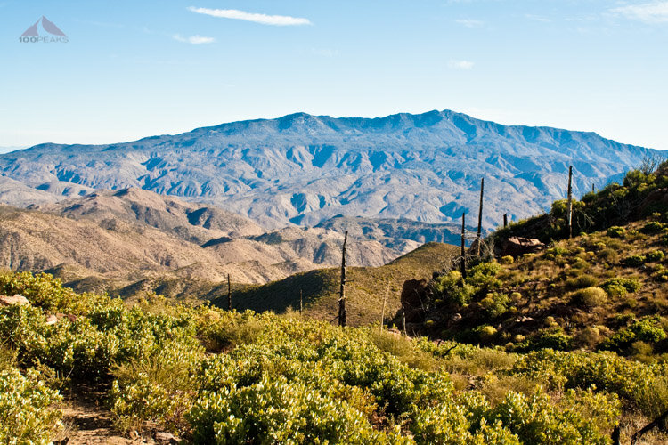
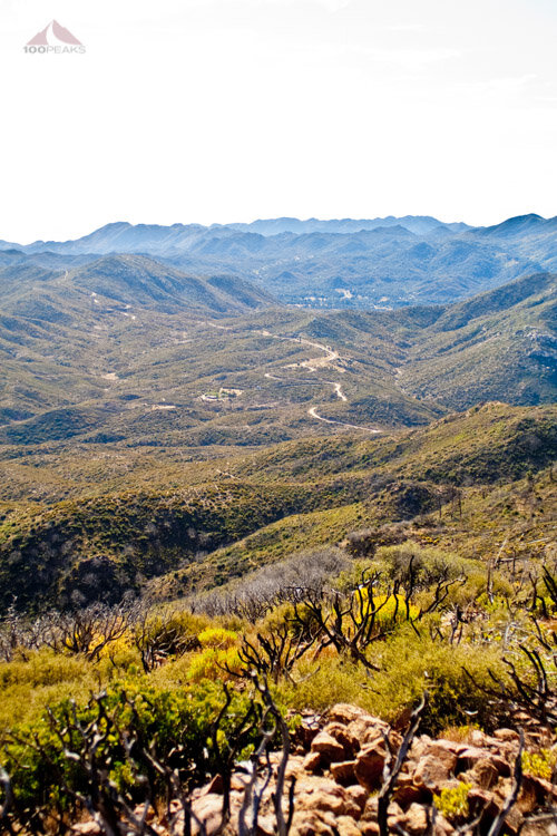
The trail slowly climbed towards a saddle, following the contour of the mountain. Almost immediately after starting the trail, we were presented with amazing views to the northeast of the Santa Rosa Mountains, which is topped by Toro Peak.
It was a gentle and easily-to-follow trail. We gained about 550' to the saddle without even feeling it. Plus, it was nice to start a hike without it being already 90 degrees.
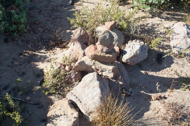

We got to the saddle and easily found the large cairn that marks the path to the summit. The remaining 600' of elevation gain took place in the last 1/3 of a mile, much of it through thorny brush and loose soil. I saw something tiny run into the brush at my feet and I looked down and saw a red horned lizard. It was the perfect color to match the rocks that studded the mountainside.
We kept an eye out for more cairns and found them here and there. Robb found a geocache about a hundred feet from the summit and added his own treasure.
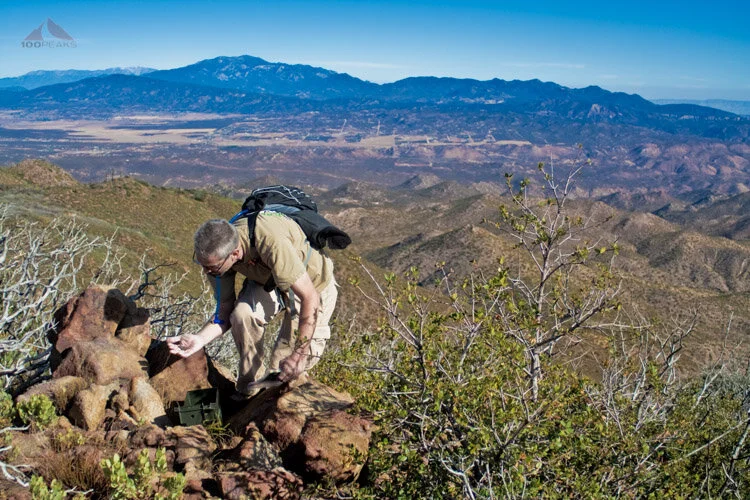
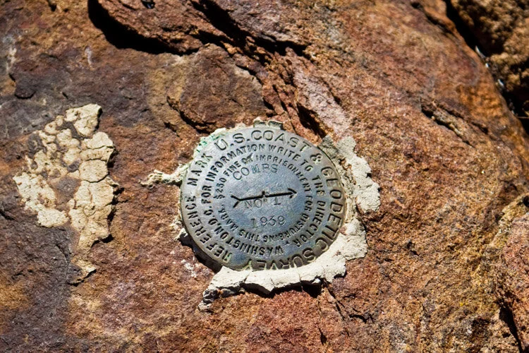
We then climbed for a minute and were on the summit. We found two benchmarks, a summit register with a sign, as well as a panoramic view.
We could see all the way to San Gorgonio, San Jacinto, Santiagio Peak, Lake Henshaw, Palomar Mountain, and the Lost Valley Boy Scout Camp. Square Top, which was previously on my list, was also clearly visible.
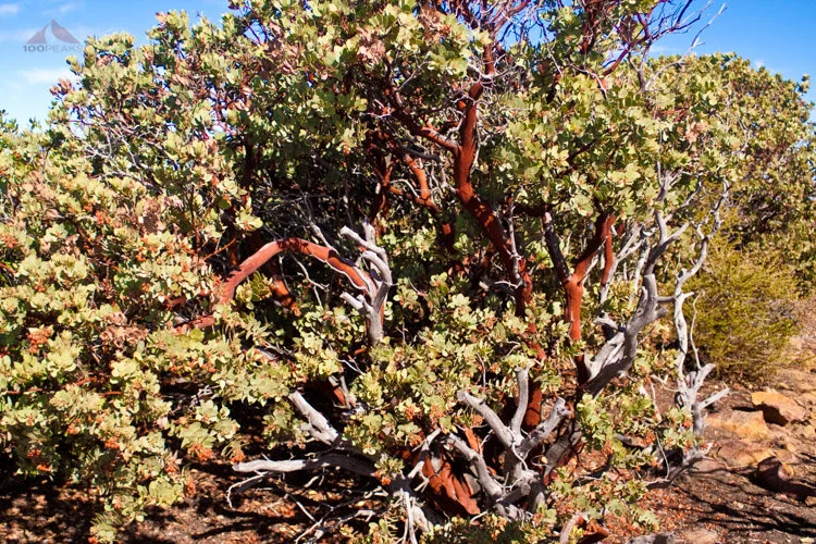
The peak was adorned with several beautiful manzanita specimens which appeared to have been spared by the fire. We had a snack, drank in the view and headed back down.
Combs Peak Trail Map
